TexAQS 2006 TOPAZ Lidar data
August 22 - Final Data
| Previous Flight | Archive Calendar | Next Flight |
|---|
Flight #13
Takeoff: 10:47 CDT
Total flight time: 4.4 hours
Flight objectives were to perform test adjustments to lidar and rendezvous with Ron Brown at the time of satellite (MISR) overpass over the Gulf of Mexico. Successful on both objectives; obtained 35 min of data for profile straddling overpass over Brown, and verified that conditions over the Gulf were spatially homogeneous for ozone, and nearly so for aerosol, except for undulations of BL top. Tested various settings and flight parameters as related to lidar performance.
Select an image to view full resolution
Ozone Cross-section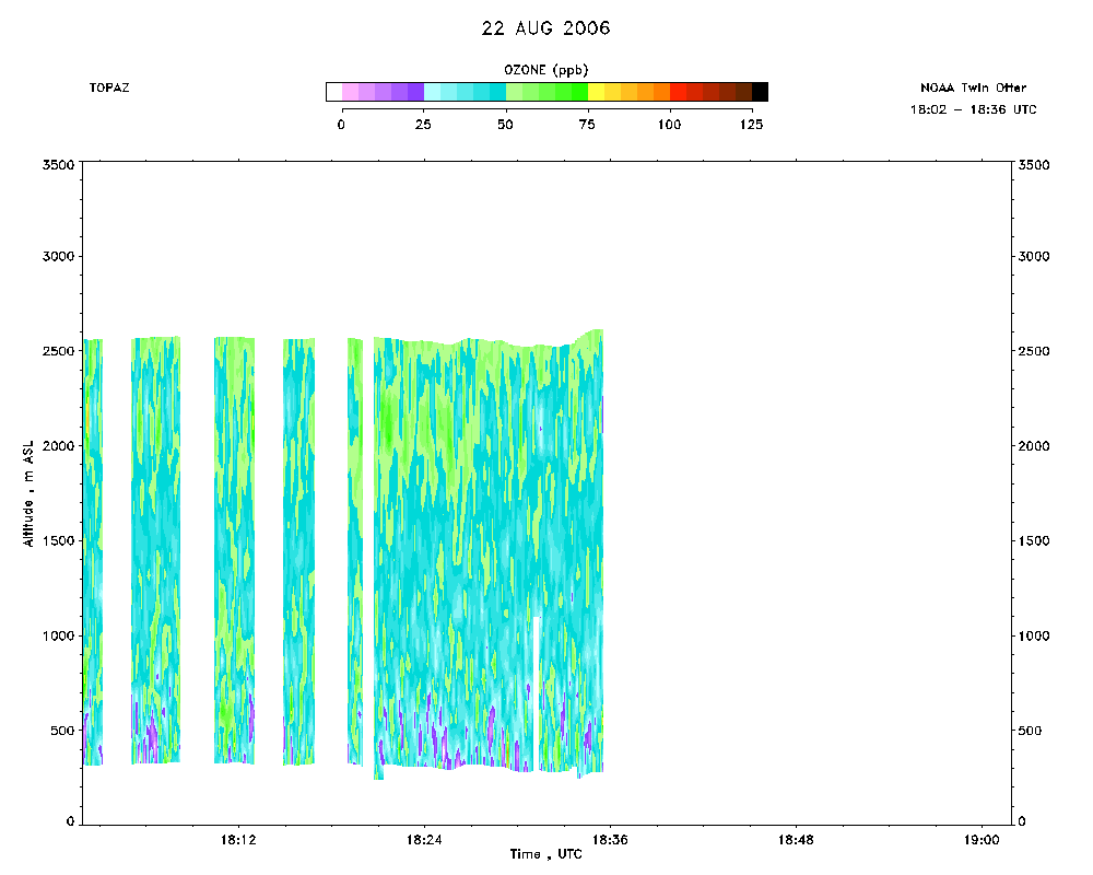 download ICARTT format data (ict file) download simple ASCII data (txt file) |
Aerosol Cross-section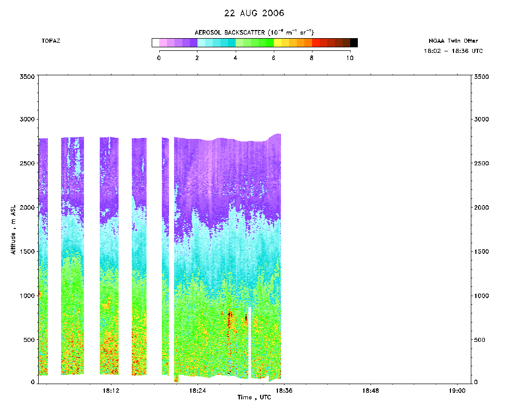 download ICARTT format data (ict file) download simple ASCII data (txt file) |
Ozone Map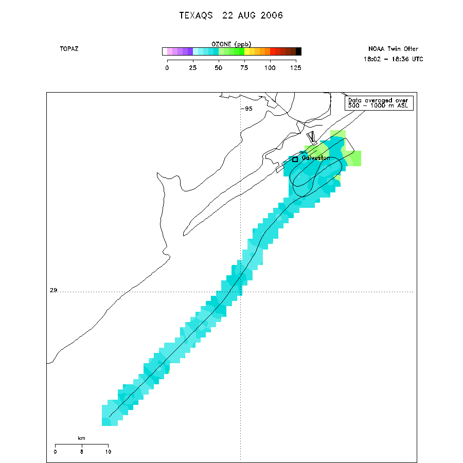 |