Weather Forecasts
Daily Weather Summary
June 18, 1999:
High pressure remains in control today. Dry and mild air in place at surface.
High: 80 With LCL very high due to dry air, little if any Cu clouds expected
either. Mixing height: 2000 m. Surface winds veering with time from Ely
to NEly, at 5-10 kt. Low Tonight: 58, with fair weather continuing.
Tomorrow's Forecast
June 19, 1999:
High pressure begins to move off the New England coast, as a 500 mb shortwave
trough approaches TN from the west. In response, winds at surface veer
around out of the South, at speeds of 5-10 kts. Also, moisture increases
ahead of shortwave, so some increase in cloud cover is expected for Saturday.
Lift will be weak, so only a small chance of a shower Saturday afternoon
into Saturday night. High: 82 Low: 62
Day after Tomorrow Forecast
June 20, 1999:
Another in series of 500 mb shortwaves approaches on Sunday, so partly
cloudy skies and a chance for mainly afternoon and evening showers will
be in the forecast again for Sunday. High: 83 Low: 64
Outlook
June 21 - 24, 1999:
Clouds should become more scattered again by Monday and Tuesday, as 500
mb shortwaves move away. However, more typical summertime southerly flow
sets up next week, bringing hotter and more humid weather and widely scattered
afternoon and evening thunderstorms. Highs: near 90. Lows: 65 to 70.
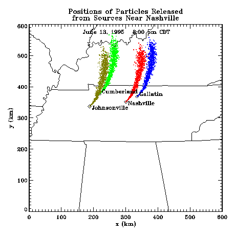
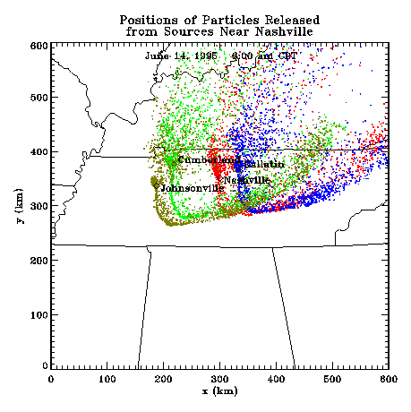
Profiler Plume Depiction
The following shows a depiction of plume locations as predicted by the
profiler winds assimilated into a one-dimensional boundary layer model.
The top image shows particle positions as of 8:00 PM CDT for particle releases
beginning at 12:00 Noon. The lower image shows particle positions at 7:00
AM CDT for particles released beginning the previous noon.
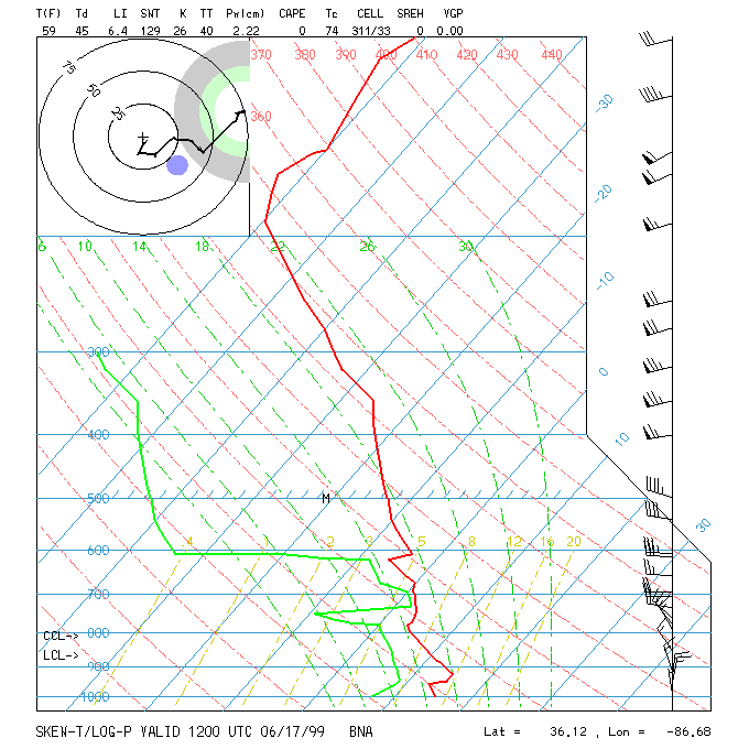
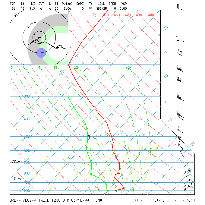
Nashville Soundings
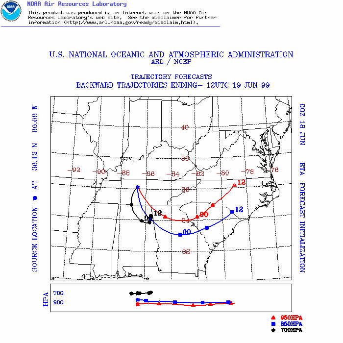
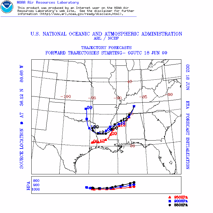
ARL Hysplit Trajectories