Weather Forecasts
Daily Weather Summary
June 24, 1999:
Strong 500 mb shortwave is slowly moving eastward near the TN/KY border. As this circulation passes to our north, periods of rain will occur throughout the day and into the night and skies will be coudy. In addition to this rain associated with the surface low, there is a chance of thundershowers this afternoon. Winds will shift from southwesterly to northwesterly with the passage of this system. Wind speed at the surface will be ~ 10 kts, ~25 kts at 850 mb. High: 84 Low: 68
Tomorrow's Forecast
June 25, 1999:
Rain will end in the early morning hours. Mostly cloudy in the am, gradually clearing throughout the day. Surface winds will be northwesterly at 5 kts. At 850 mb winds will be northwesterly shifting to northerly, 15 kts. High: 87 Low: 68
Day after Tomorrow Forecast
June 26, 1999:
Brief respite between shortwave systems. It will be warmer, with a high near 90. Southwesterly winds will shift to the south, 5-10 kts at the surface. This shift to southerly winds will put us back into the regime of moisture advection from the Gulf of Mexico. This moisture, combined with another shortwave trough aloft, will bring rain showers to Nashville. Winds at 850 mb will transition from westerly to southerly also (5 kts), helping to advect moisture through a deep layer. Low Saturday night near 70.
Outlook
June 27 - 29, 1999:
Rain increases as the next shortwave progresses through our region, with afternoon thunderstorms possible. Increasing clouds. Winds will be southerly. Highs near 80. Lows in low 70's.
Profiler Plume Depiction
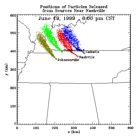
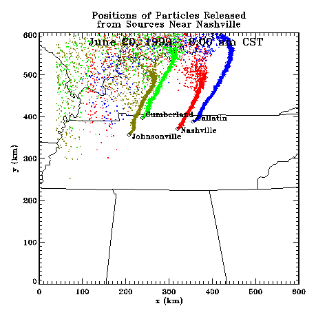
The following shows a depiction of plume locations as predicted by the profiler winds assimilated into a one-dimensional boundary layer model. The top image shows particle positions as of the previous evening. The lower image shows particle positions as of the following morning for particles released beginning the previous noon.
Forecast Plumes
The following gives a depiction of plume locations using a Lagranagian Particle Model coupled to the Regional Spectral Model. The RSM is run daily in a forecast mode at TVA Muscle Shoals, Alabama.
Plume based on 00z initial fields (mpg file optimized for QuickTime)
Plume based on 12z initial fields (mpg file optimized for QuickTime)
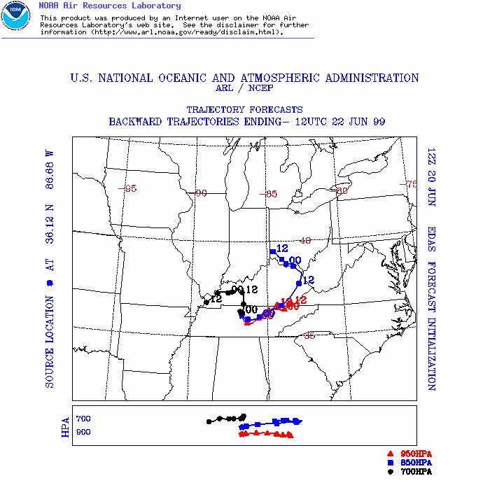
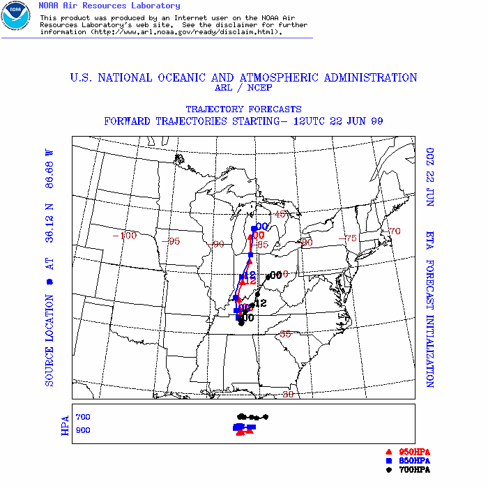
ARL Hysplit Trajectories
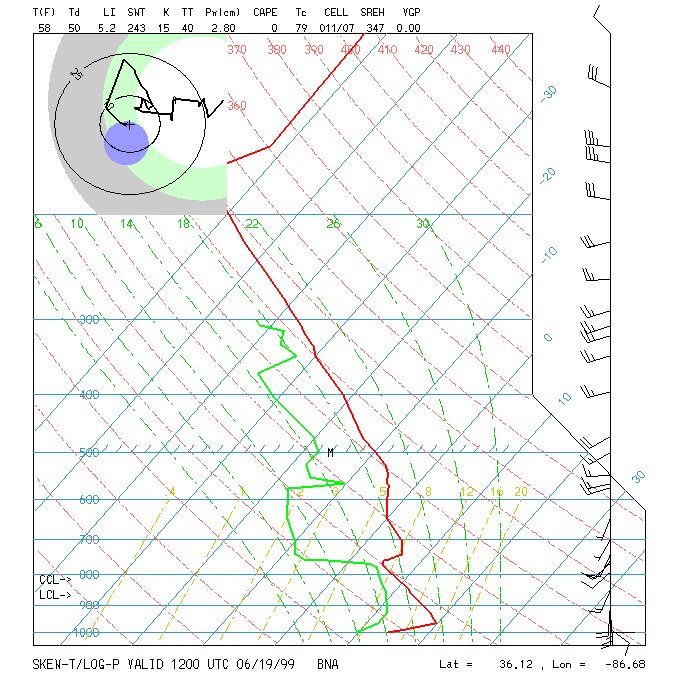
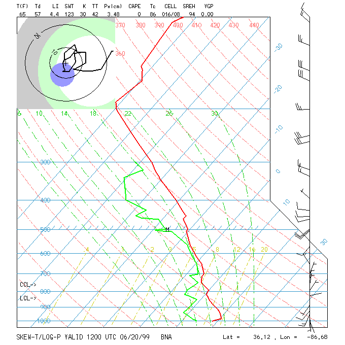
Nashville Soundings
