A .gov website belongs to an official government organization in the United States.
Secure .gov websites use HTTPS
A lock () or https:// means you've safely connected to the .gov website. Share sensitive information only on official, secure websites.
Stratospheric Modeling & Analysis: Products
BDBP: Binary DataBase of Profiles
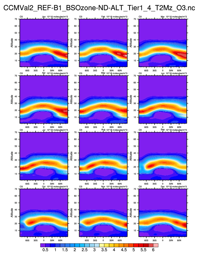
Monthly O3 climatologies (1979-2007)
The BDBP (Binary DataBase of Profiles) is a binary data set consisting of trace gases and aerosols with almost global coverage that is derived from high vertical resolution profile measurements. The latest version of the BDBP includes measurements from different solar occultation satellite instruments (HALOE, POAM II and III, SAGE I and II, ILAS and ILAS II), a limb sounding instrument (LIMS) and ground-based measurement systems (ozonesondes), and spans the period from early 1960s to 2006, with spatial coverage increasing in latter years, due to the availability of measurements from an increased number of instruments.
In addition to the primary product of ozone, secondary measurements of the these measurement systems are included (e.g. other trace gases, aerosol extinction, and temperature). All data are subjected to strict quality control and for every measurement a percentage error on the measurement is also stored in the data set.
To facilitate analyses, each measurement is provided on 3 different grids. The provided grids are: (1) geographic latitude, longitude, altitude (in 1 km steps) and time, (2) geographic latitude, longitude, pressure (at levels ∼1 km apart) and time, (3) equivalent latitude, potential temperature (8 levels from 300 K to 650 K) and time. No averaging (spatial or temporal) is performed on the data, creating a data set applicable for answering a wide range of scientific questions.