Friday, August 12: SCOOP
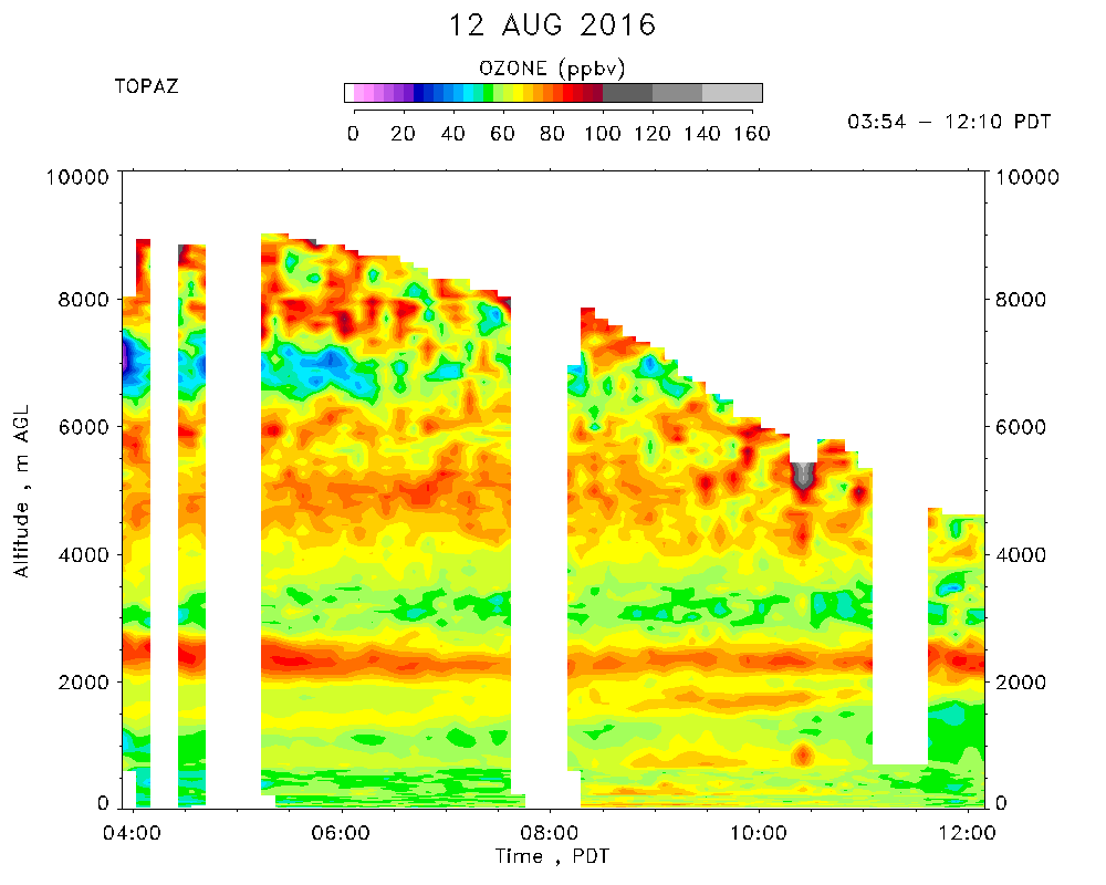
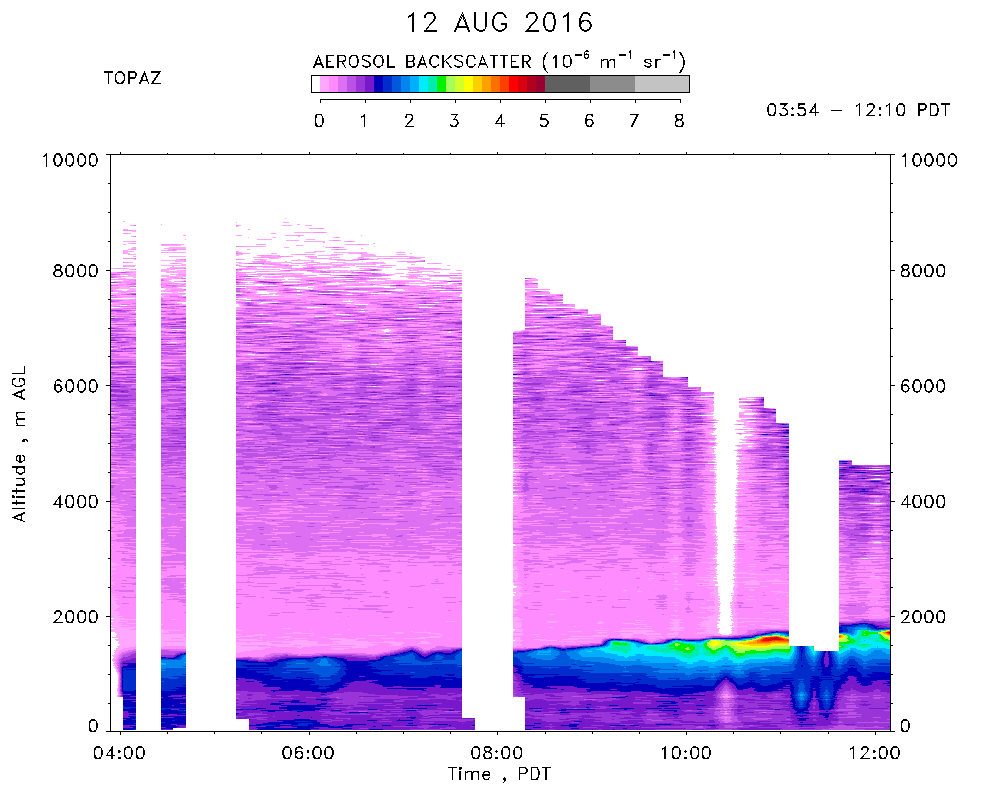
Day 4 of SCOOP observations. TOPAZ data were taken from 03:54 to 12:10 PDT.
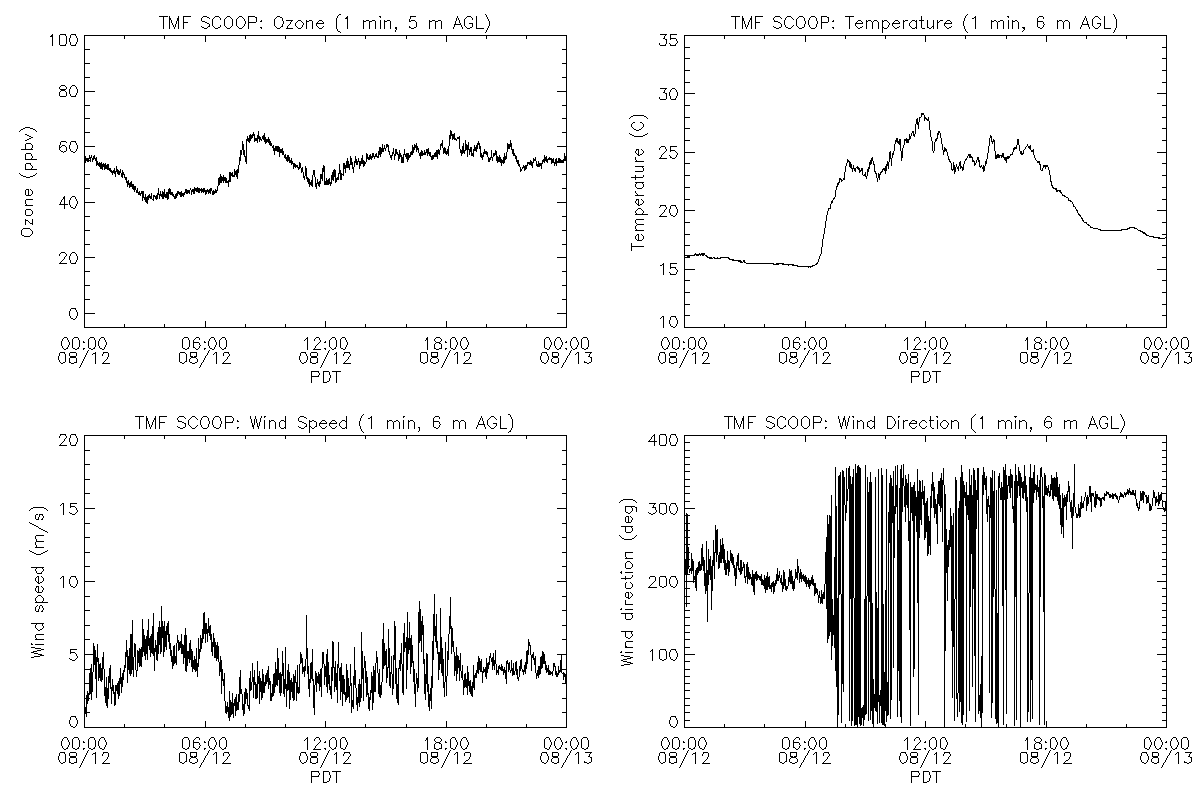
Partly cloudy skies. Shallow Cu after 10:00 PDT. Maximum temperature of 28 C. Winds from the south/southwest, switching to a northeasterly and then northwesterly direction and becoming lighter at around 07:00 PDT. Surface ozone* ranged from about 45 to 65 ppbv, with the maximum ozone concentrations occurring around 09:00 PDT. The PILOT fire (~8000 acres, 70% contained) was burning near Silverwood Lake, 40 km east of TMF. TOPAZ observed several layers containing moderately high ozone concentrations (80 - 90 ppbv) at 2.5, 4 - 6, and above about 7 km AGL, as well as low-ozone layers around 1, 3, and 7 km AGL.
*Note: The collocated in situ ozone concentrations are known to be about 6% low.