A .gov website belongs to an official government organization in the United States.
Secure .gov websites use HTTPS
A lock () or https:// means you've safely connected to the .gov website. Share sensitive information only on official, secure websites.
CUPiDS 2023 NOAA Ground-Based Lidar Data
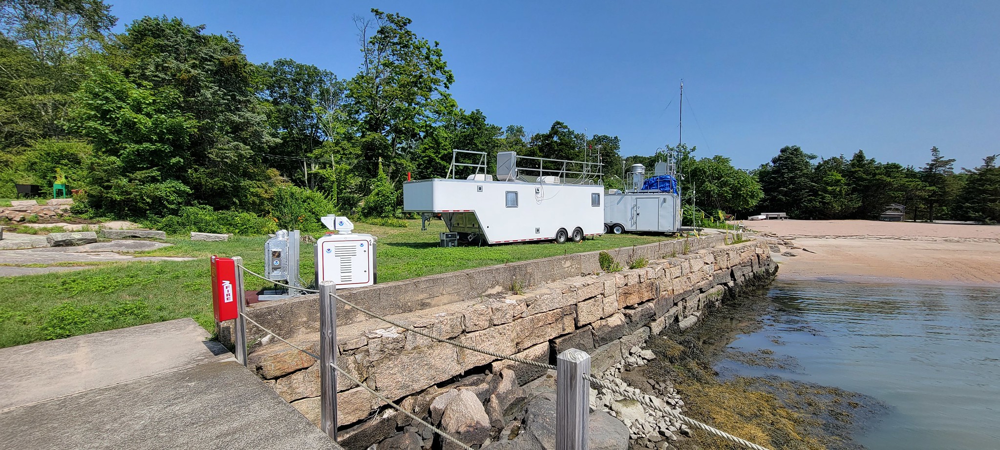
NOAA ground-based lidars deploy to the Yale Coastal Field Station (YCFS) in south central Connecticut located at the shore of the Long Island Sound from 3 July thru 15 August 2023 for the Coastal Urban Plume Dynamics Study (CUPiDS).
TOPAZ lidar will observe the ozone and aerosol structure in the NYC pollution plume as it impinges on the Connecticut shore. We use a TOPAZ scan pattern that includes a zenith measurement followed by a set of slant path observations at shallow elevations angles with the laser beam pointed in a southerly direction over the Long Island Sound, followed by a similar elevation angle scan sequence to the north over land. This will allow us to map out the ozone and aerosol structure within a few kilometers of either side of the shoreline.
The co-located, autonomous Doppler lidar (Dalek) will continuously repeat a scan sequence consisting of vertical stares to observe atmospheric turbulence and sets of conical, vertical slice, and sector scans to measure horizontal wind speed and direction profiles.
NOAA Doppler lidar and TOPAZ lidar trailer at the Yale Coastal Field Station (University of Michigan in situ sampling trailer in the background). Photo: Scott Sandberg, NOAA