A .gov website belongs to an official government organization in the United States.
Secure .gov websites use HTTPS
A lock () or https:// means you've safely connected to the .gov website. Share sensitive information only on official, secure websites.
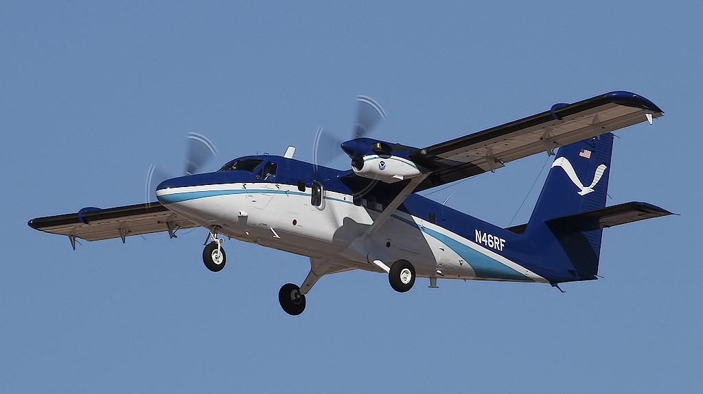
Platform: NOAA Twin Otter
To support the overall AEROMMA science objectives related to urban emissions as affected by coastal meteorology, the NOAA Twin Otter aircraft will deploy to the New York City region for the Coastal Urban Plume Dynamics Study (CUPiDS) in the summer of 2023.
An airborne scanning Doppler lidar operated from a NOAA Twin Otter aircraft will measure the vertical and horizontal structure of the evolving horizontal-wind field along its flight track over the shoreline of Lake Michigan, then the U.S. East coast to characterize the flows that carry plumes of air pollutants emitted from Chicago, New York City (NYC) and other major areas along the urban corridor (Baltimore/Washington, Philadelphia, Boston). Data from the NOAA Twin Otter lidar will be used to study diurnal forcing of atmospheric dynamics on urban plume transport and mixing in coastal regions. Atmospheric effects such as the urban heat island and complex regional flows driven by sea/land breezes have a strong diurnal signature. They impact the depth to which urban emissions can mix in the boundary layer, and control the coherence and direction of low-level transport in coastal regions. If these processes are not properly represented in regional air quality models, the models will not accurately predict air quality in the region.
Important science questions include:
What is the relationship between coastal ozone and lake breeze dynamics?
How does the atmospheric boundary layer evolve over land (inland and coast) vs. water?
How do pollutants accumulate/recirculate over the lake and lakeshore and to what extent are they ventilated out of the boundary layer further inland?
How well quantified are the major emissions sources in the Lake Michigan region (e.g., urban, power generation, etc.)?
What is the distribution of O3 and its precursors (NOx and VOCs), and how do these distributions couple to lake meteorology to define NOx-VOC sensitivities across the region?
What flow regimes are conducive to high ozone in NYC region?
What is the role of sea-breeze circulations during daytime and land breezes at night?
How does the atmospheric boundary layer evolve over land and water?
What is the role of low-level jets in transporting pollutants into and out of the NYC region?
How well do hi-res numerical models represent these features?
Can we improve model performance with modifications to physics or data assimilation?