WP-3D Daily Summaries
7/28/04 WP-3D Flight Summary (Preliminary Observations)
Take off: 13:54 UTC, Landing: 20:32 UTC, flight duration 6 h 38 min
A stationary front stretched from Cape Cod in SW direction to the Alabama Gulf coast and to the east it extended approximately along 42N to south of Nova Scotia. A high cloud band more or less followed the North American east coast from Florida extending to Newfoundland. One aim of the flight of 7/28 was to sample the outflow of the conveyor belt that was sampled close to the source regions on the previous day, 7/27. However, the GFS model had a hard time predicting the speed of the pollution transport event in the prefrontal flow, which resulted in considerable forecast run-to-run differences in the tracer locations. The second goal of the flight was to examine a biomass burning plume over Quebec that Flexpart had forecast and that was indeed apparent on the GOES visible images on the morning of the flight.
The biomass burning plume or rather column was seen over Quebec N. of the St. Lawrence River at altitudes from 6 km to 1600m and was probed for > 1h. At the lower altitude, the presence of turbulence as well as isoprene and its reaction products MVK and MACR showed that the smoke from the biomass burning had mixed into the PBL.
Outside of the biomass burning plume the CO mixing ratio was below 133 ppbv and did not show a clear signature of the anthropogenic pollution export in the conveyor belt flow that was anticipated. It is puzzling as according to the ECMWF analysis based Flexpart forward model runs we should have seen the anthropogenic plume. In hindsight it would have been worthwhile to extend the flight legs further to the south by about 1 deg.
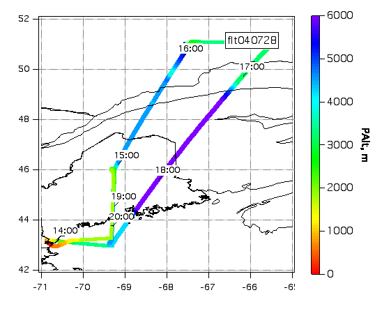
Actual Flight Track
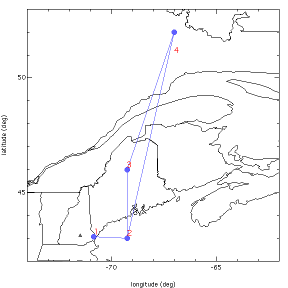
Flight Plan Map
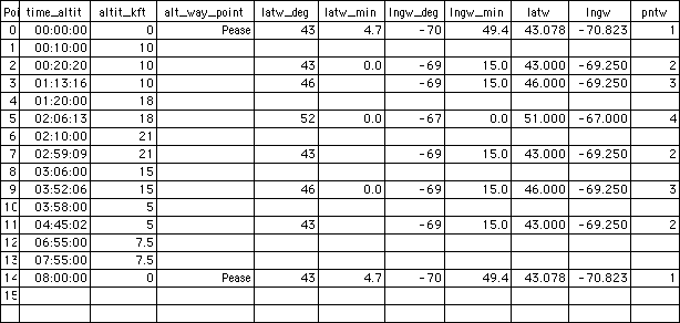
Flight Plan Lat/Lon Points
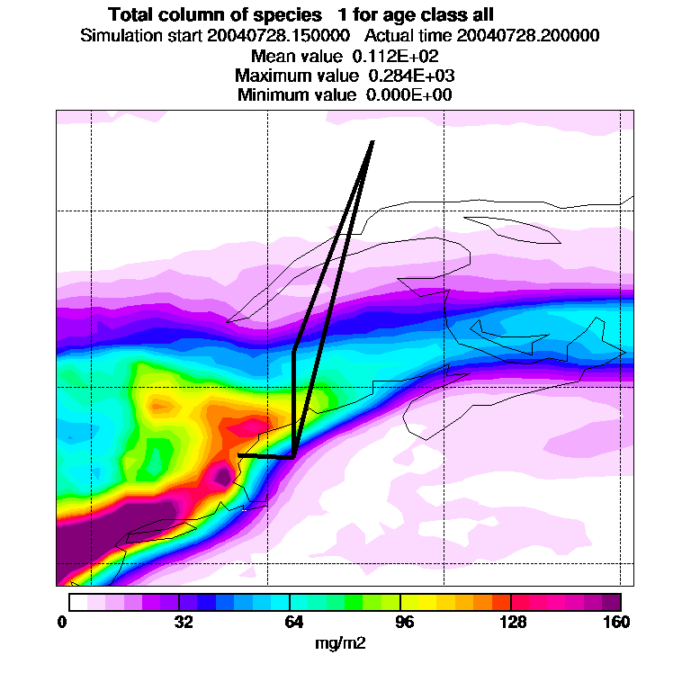
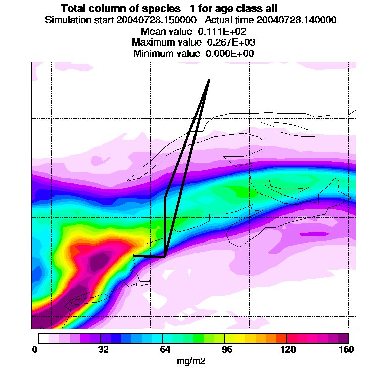
Flexpart Graphics:
Column NO2 forecast at 14:00 UTC
Column NO2 forecast at 20:00 UTC