Products in support of Steamboat Springs 2004
Satellite Image Loops
View GOES-WEST image loops. Theses images were updated regularly during this campaign.
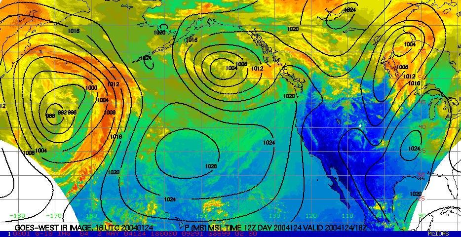
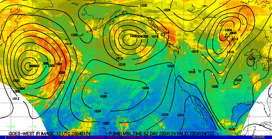
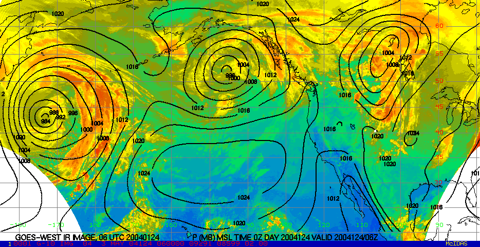
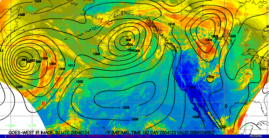
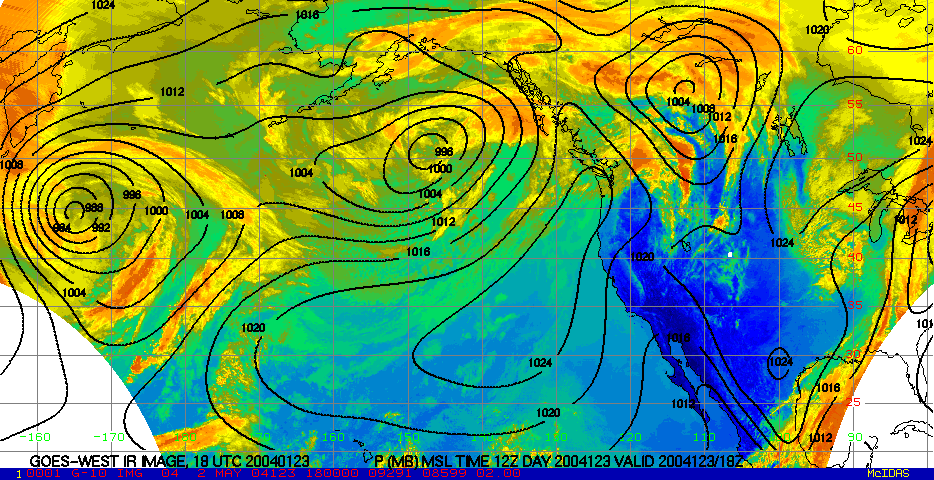
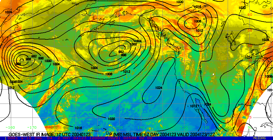
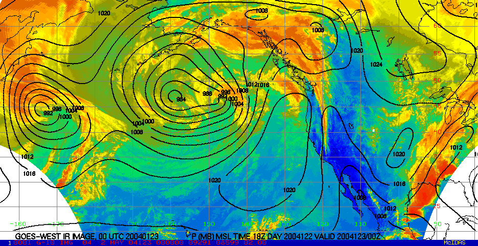
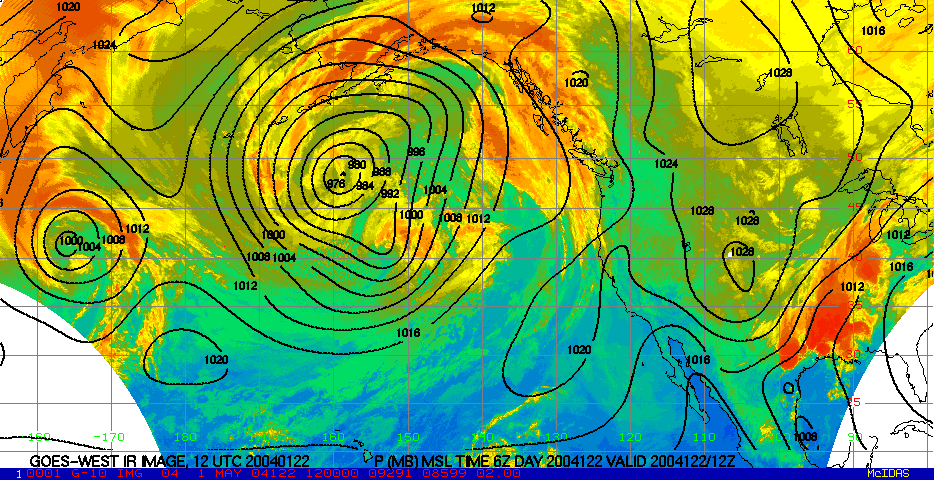
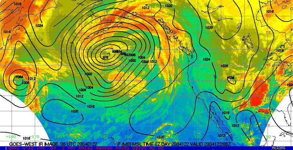
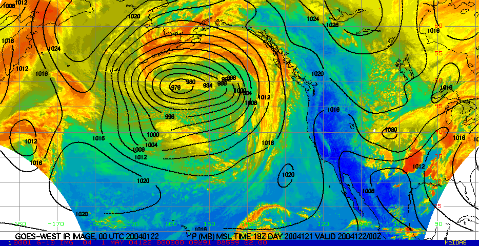
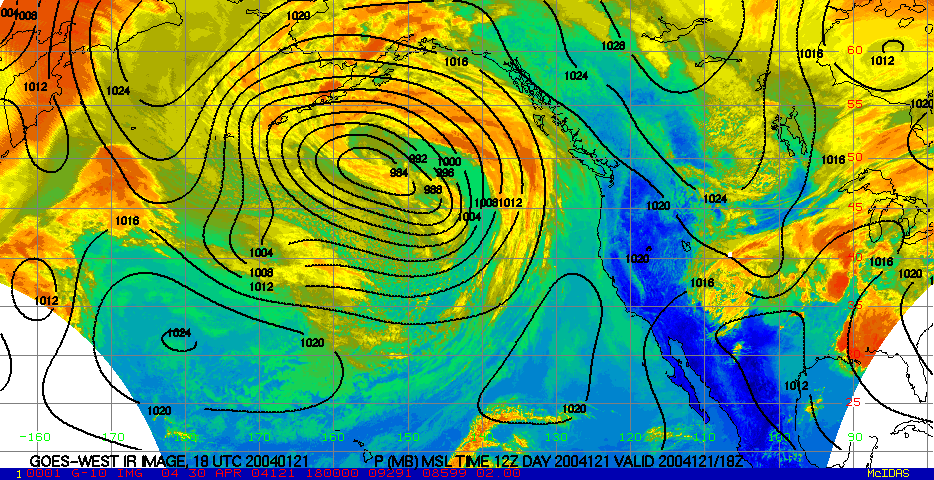
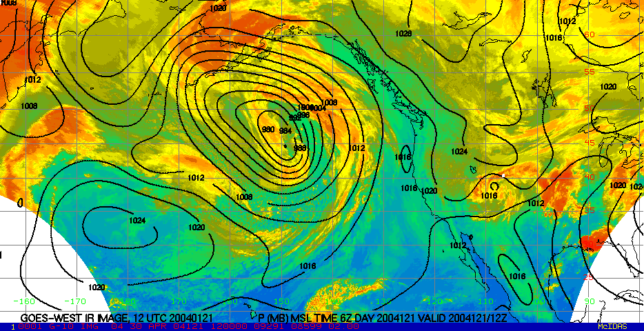
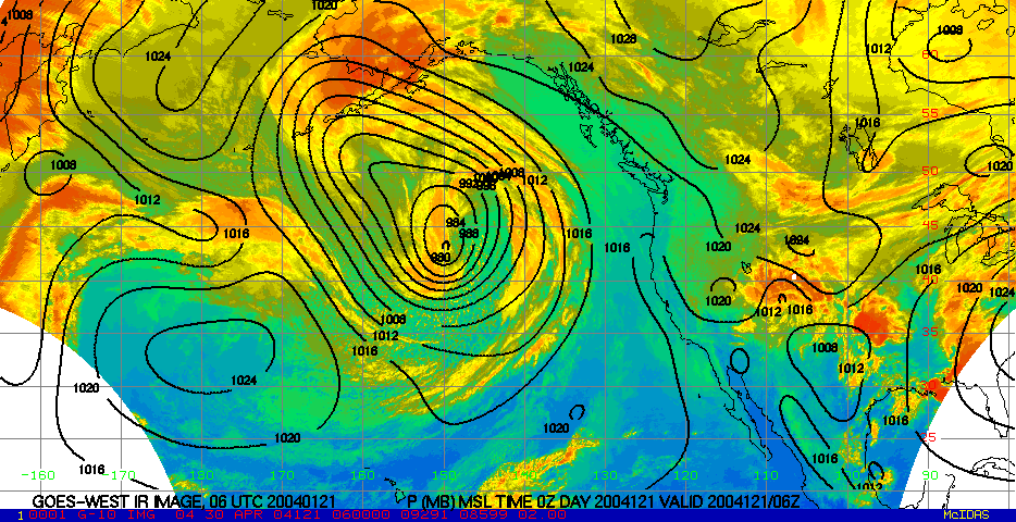
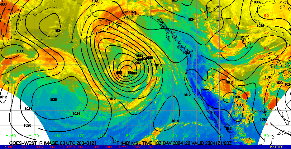
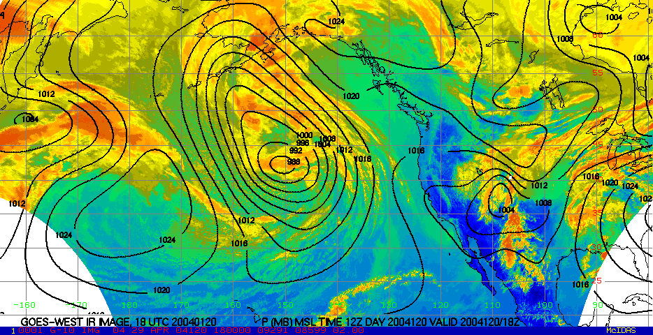
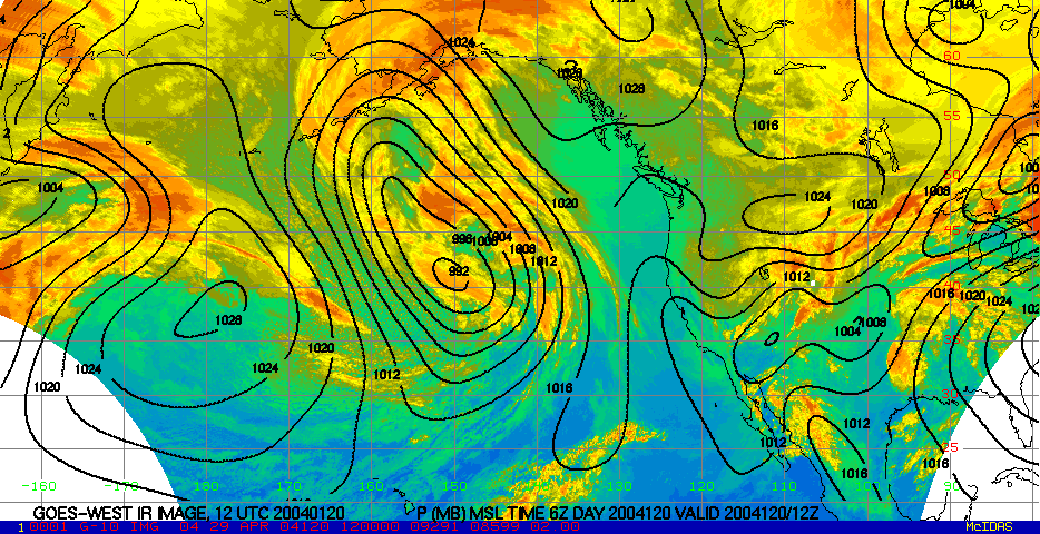
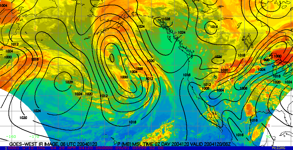
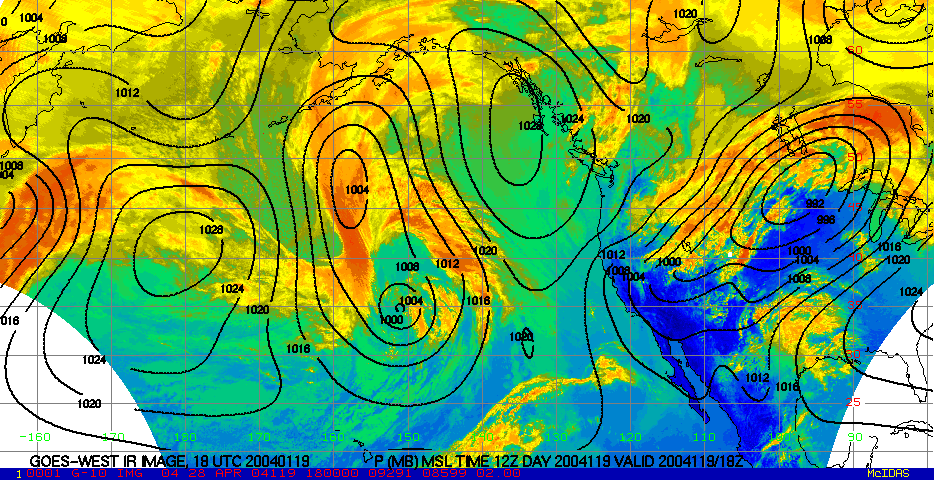
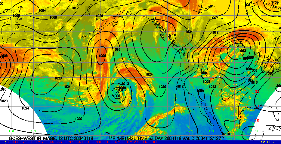
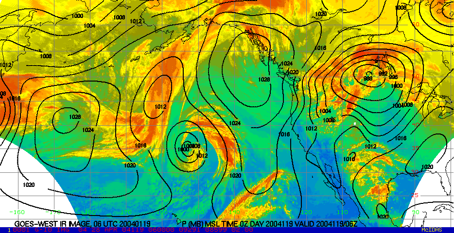
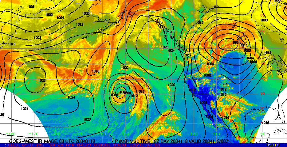
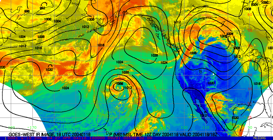
- 6-day infra-red loop These images are available every 6-hours. Contours are MSL pressure. Yellows and reds indicate higher cloud tops. Greens and blues indicate lower level clouds and the surface of the Earth.
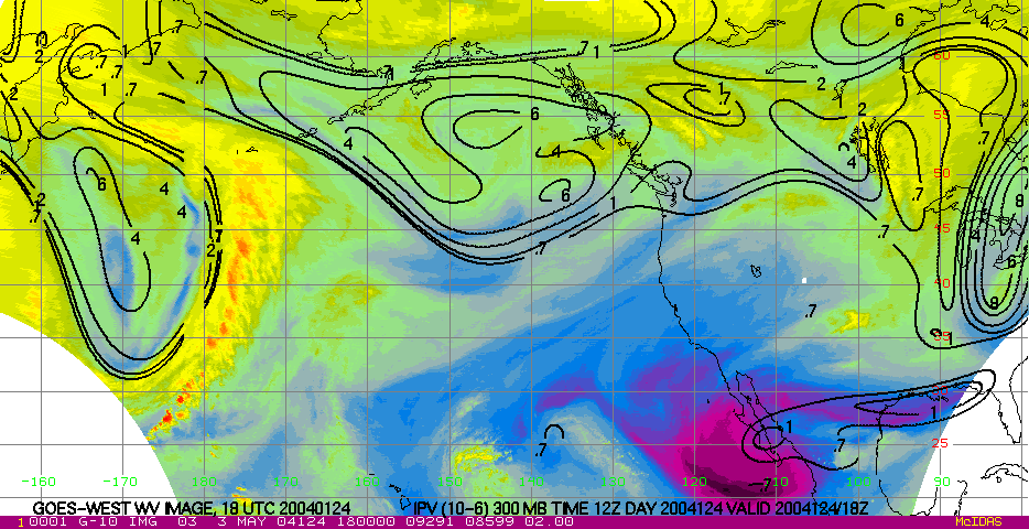
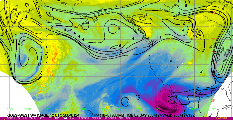
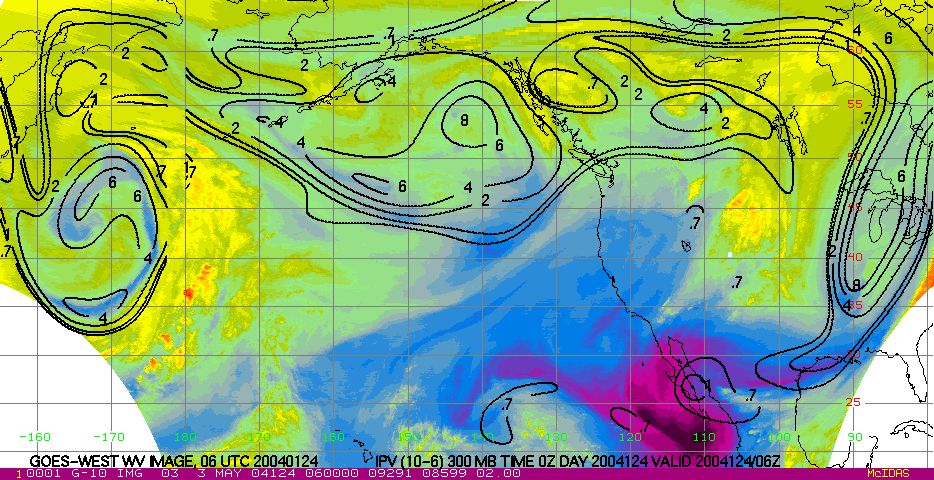
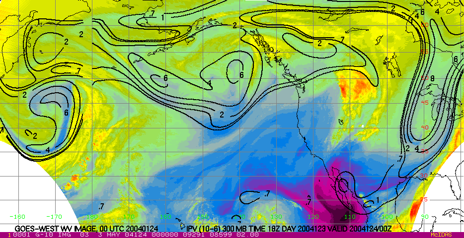
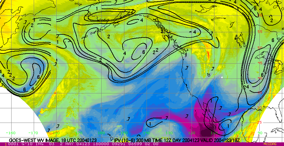
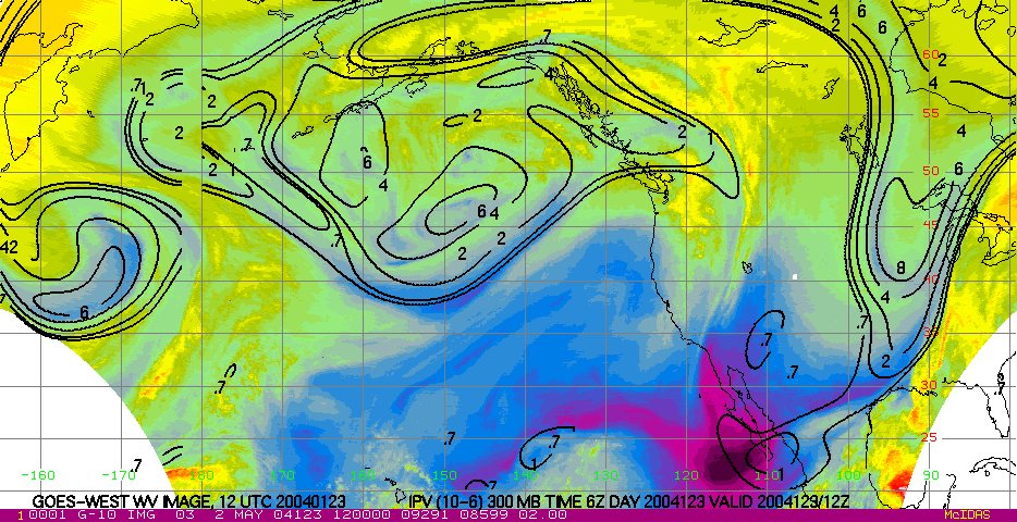
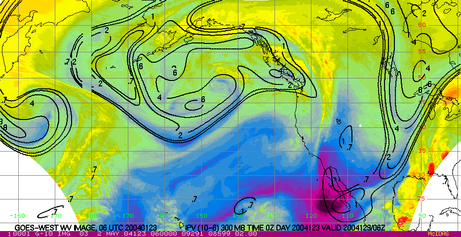
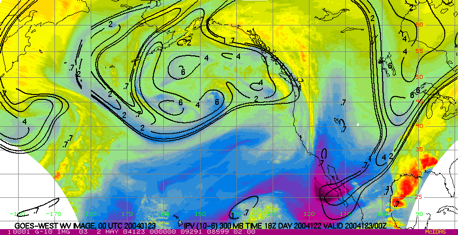
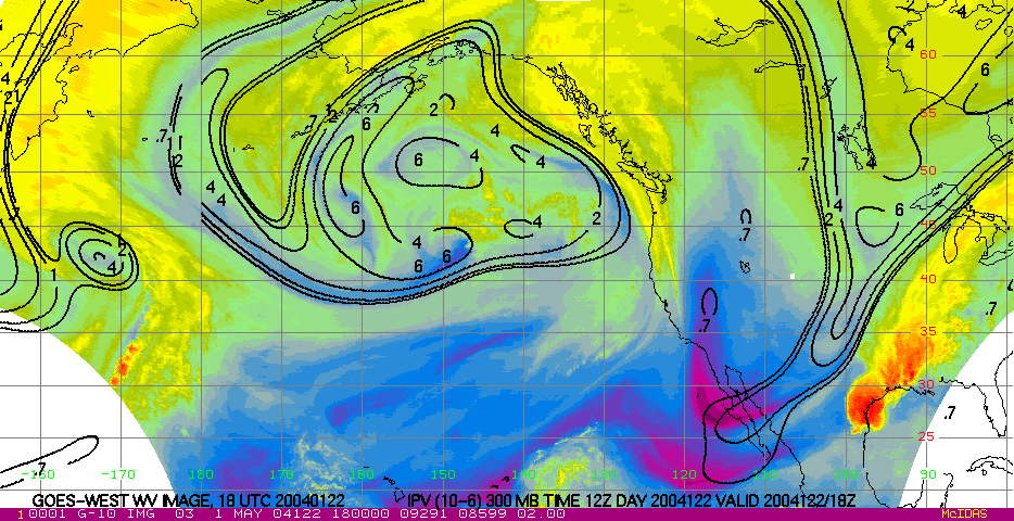
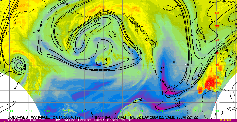
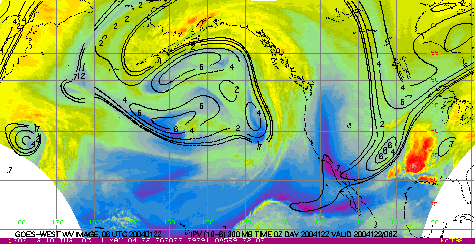
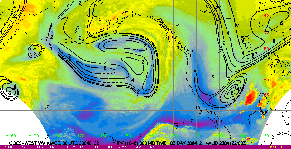
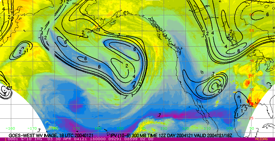
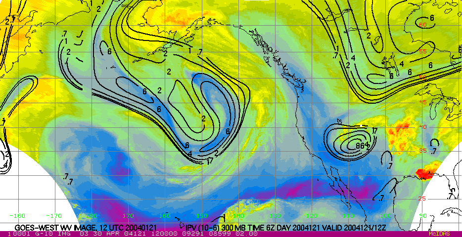
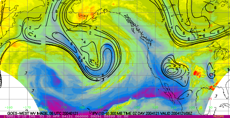
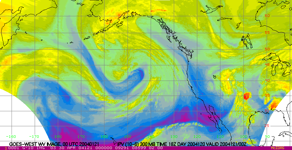
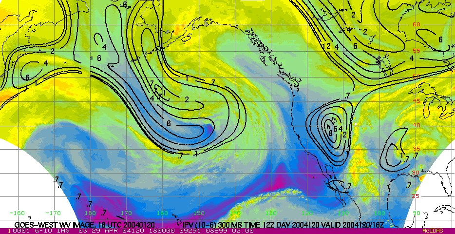
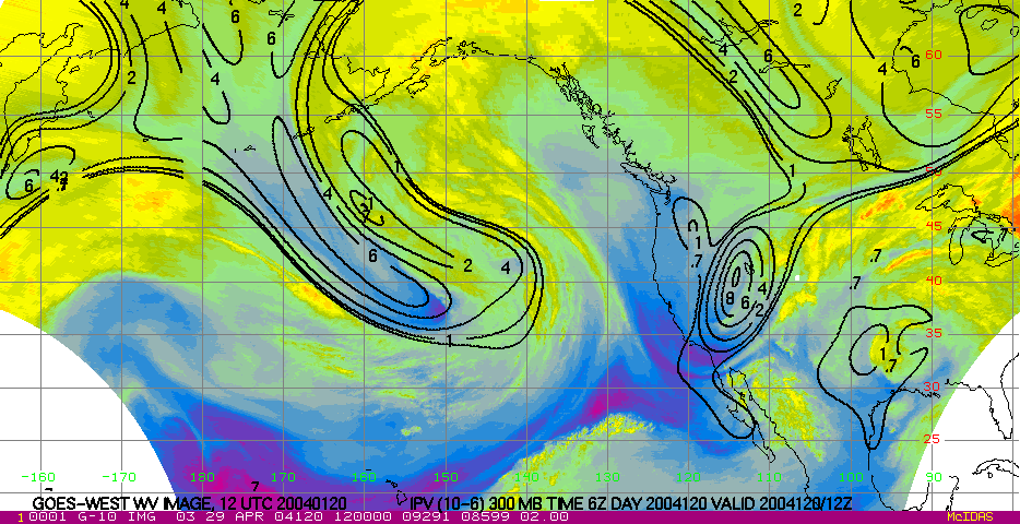
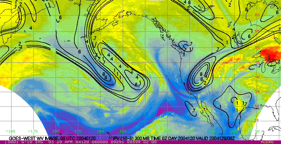
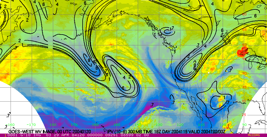
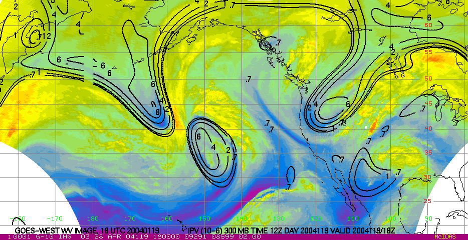
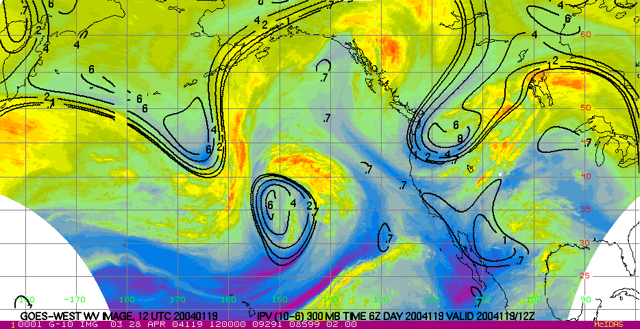
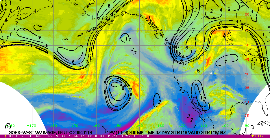
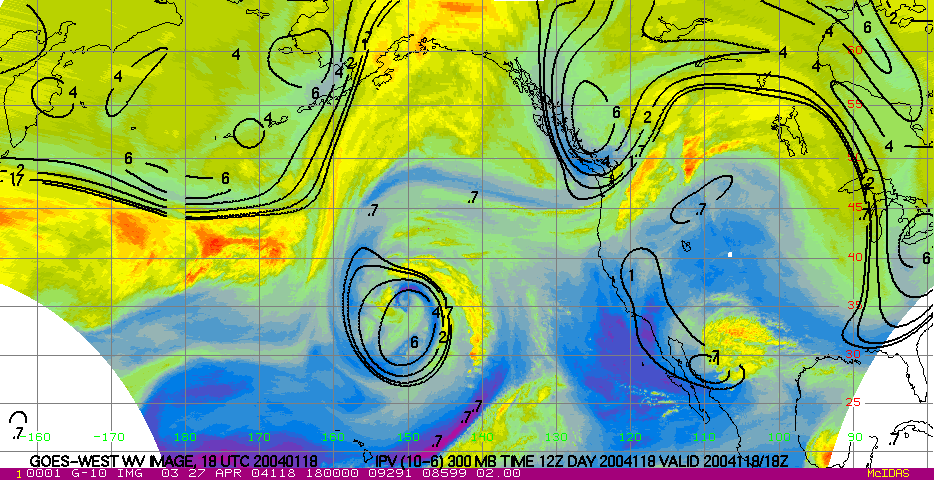
- 6-day water vapor loop These images are available every 6-hours. Contours are 300 hPa IPV. Purples and blues indicate dry air, and greens and yellows indicate moist air.
GOES-WEST IR and WV Images
View individual 6-hourly GOES-WEST IR images with MSL pressure, or WV images with 300 hPa IPV.
| Hours back in time | IR & MSL pressure | WV & 300 hPa IPV |
|---|---|---|
| 0 | X | X |
| 6 | X | X |
| 12 | X | X |
| 18 | X | X |
| 24 | X | X |
| 30 | X | X |
| 36 | X | X |
| 42 | X | X |
| 48 | X | X |
| 54 | X | X |
| 60 | X | X |
| 66 | X | X |
| 72 | X | X |
| 78 | X | X |
| 84 | X | X |
| 90 | X | X |
| 96 | X | X |
| 102 | X | X |
| 108 | X | X |
| 114 | X | X |
| 120 | X | X |
| 126 | X | X |
| 132 | X | X |
| 138 | X | X |
| 144 | X | X |